Ever wonder how millions navigate the GTA without getting lost?
Prompted by NerdSip Explorer #5918
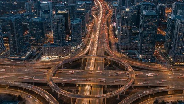
Master the layout of Toronto's roads and highways.
The Greater Toronto Area (GTA) isn't just one giant city; think of it as a massive puzzle made of five interlocking pieces. At the very center is the City of Toronto itself.
Surrounding it are four distinct regional municipalities: Peel to the west, Halton further west, York to the north, and Durham to the east. Together, these five regions form an economic powerhouse home to over 6 million people.
But to understand how it is all laid out, you need to look at the bottom of the map. The entire GTA hugs the northwest shoreline of Lake Ontario.
This massive body of water acts as the absolute southern boundary of the region. Because the lake is such a permanent, unmoving anchor, the entire road network and geographical layout of the GTA is built radiating northward and outward from its shores.
Key Takeaway
The GTA consists of Toronto and four surrounding regions, all geographically anchored by Lake Ontario to the south.
Test Your Knowledge
Which body of water forms the absolute southern border of the Greater Toronto Area?
If you look at a map of Toronto, you will notice it looks like a giant checkerboard. The city is largely built on a massive grid system, making it surprisingly easy to navigate once you know the rules.
The most important line on this grid is Yonge Street (pronounced "Young"). This massive thoroughfare slices straight down the middle of the city, acting as the ultimate East-West divider.
If you are on a horizontal street that crosses Yonge—like Bloor Street or Queen Street—the address numbers start at 1 right at the Yonge Street intersection. As you travel further East, the numbers get higher. As you travel further West, the numbers also get higher.
The street name even changes to tell you where you are (e.g., "Bloor Street West" versus "Bloor Street East"). Knowing this simple geographic trick gives you a mental compass!
Key Takeaway
Yonge Street divides Toronto into East and West, with street addresses starting at 1 and increasing as you move outward.
Test Your Knowledge
If you are at 500 Bloor Street West and your friend is at 10 Bloor Street West, who is closer to the center divider of the city?
To move up and down the city's grid, you need the GTA's vertical arteries. These north-south highways connect the downtown core to the northern suburbs and beyond.
On the east side of Toronto, you will find the Don Valley Parkway (DVP). This highway is famous because it literally winds through a lush river valley. While it offers beautiful views, locals jokingly call it the "Don Valley Parking Lot" due to heavy rush-hour traffic.
On the west side of the city, Highway 427 serves as a massive superhighway. It is incredibly important because it funnels millions of travelers directly into Toronto Pearson International Airport.
Further north, highways like the 400 and 404 shoot straight up from the city, carrying commuters into the suburbs of York Region and weekend travelers up to Ontario's famous northern "cottage country."
Key Takeaway
The DVP and Highway 427 are major north-south highways connecting downtown Toronto to the suburbs and the airport.
Test Your Knowledge
Which north-south highway is famous for winding directly through a lush river valley?
Cutting horizontally across the middle of the city is the king of all roads: Highway 401. This is not just a regular freeway; it is officially the busiest highway in North America!
Stretching across the entire region, the 401 can expand up to 18 lanes wide in certain sections. To handle the massive volume of cars, it uses a unique system: "Express" lanes in the middle for long-distance drivers, and "Collector" lanes on the outside for local exits.
If you want to bypass the chaos of the 401 entirely, there is an alternative just to the north called Highway 407. However, it is an electronically tolled route, so escaping the traffic will cost you a fee.
Down at the very bottom of the city, hugging the shoreline, is the Gardiner Expressway. This elevated highway acts as the main east-west artery feeding directly into the towering skyscrapers of downtown.
Key Takeaway
Highway 401 is an enormous east-west route through the GTA and holds the title of the busiest highway in North America.
Test Your Knowledge
What makes Highway 401 unique compared to almost all other highways?
Ever get totally turned around and lost in the GTA? You do not always need a map; you just need to look at the building numbers on any street!
Because Lake Ontario forms the hard southern edge of the city, the numbering for any North-South street begins right at the water. If you are standing at a building like 10 Bathurst Street, you know you are right next to the lake.
As you travel straight north, away from the water, the building numbers grow larger. If you find yourself at 10,000 Bathurst Street, you know you are miles north in the suburbs!
This elegant numbering system gives every pedestrian and driver a built-in compass. Just watch the numbers on the buildings: if they are going down, you are walking toward the water!
Key Takeaway
North-South street numbers start at Lake Ontario and get progressively higher the further north you travel.
Test Your Knowledge
If you are walking down a north-south street and the building numbers are decreasing, which direction are you heading?
Track your progress, earn XP, and compete on leaderboards. Download NerdSip to start learning.